
Grossglockner High Alpine Road by Motorcycle: All Stops, Tolls and Tips
At a glance: 48 km (30 mi) from Bruck to Heiligenblut, 36 hairpins, Hochtor pass at 2,504 m (8,215 ft), highest point Edelweißspitze at 2,571 m (8,435 ft). Plus two side roads to the Edelweißspitze and the Kaiser-Franz-Josefs-Höhe. Motorcycle toll 2026: €36.50 day ticket. Open roughly from early May to early November.
The Grossglockner High Alpine Road is Austria’s most famous pass road and a must for motorcyclists: wide, well-built hairpins, glaciers within reach and a sea of 3,000 m peaks from the Edelweißspitze. I rode it from the Ferleiten toll station to the Kaiser-Franz-Josefs-Höhe and back, with both side roads, into the sunset. Here you get the whole road on the map, all 12 stops with photos from that ride and everything you need to know about tolls and opening times.
This ride is also available as a community tour with GPX.
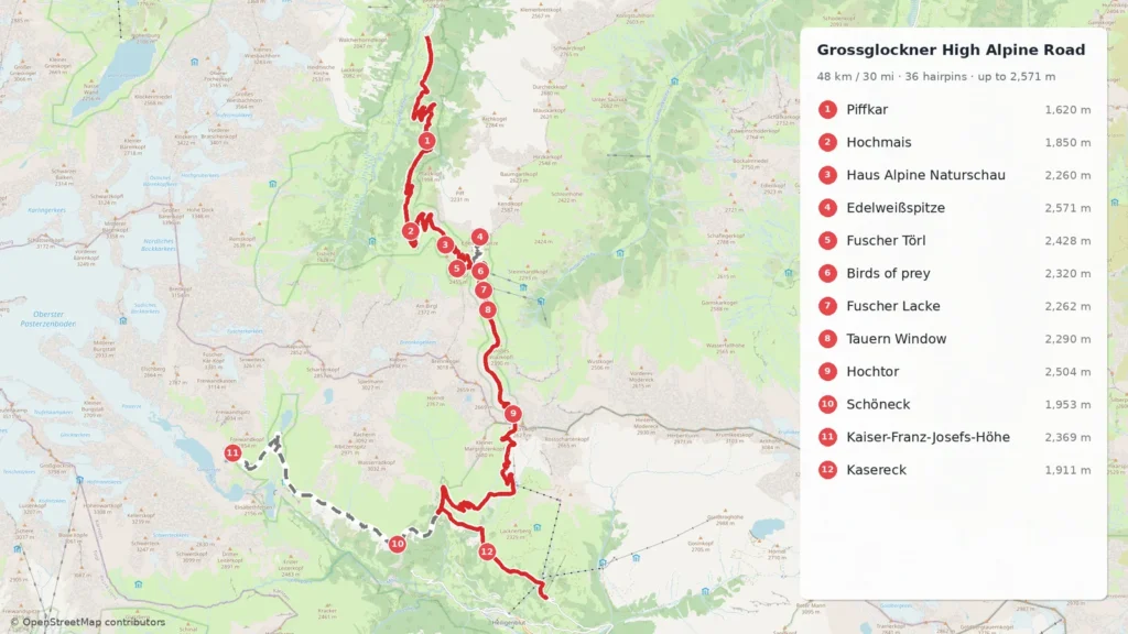
Google Maps calculates the route itself, small differences are possible.
The solid line is the main road from toll station to toll station, the dashed lines are the side roads to the Edelweißspitze and the Kaiser-Franz-Josefs-Höhe. Click a number for a photo and details. Below the map you can download the GPX for your navigation device.
Tolls, opening and rules in 2026
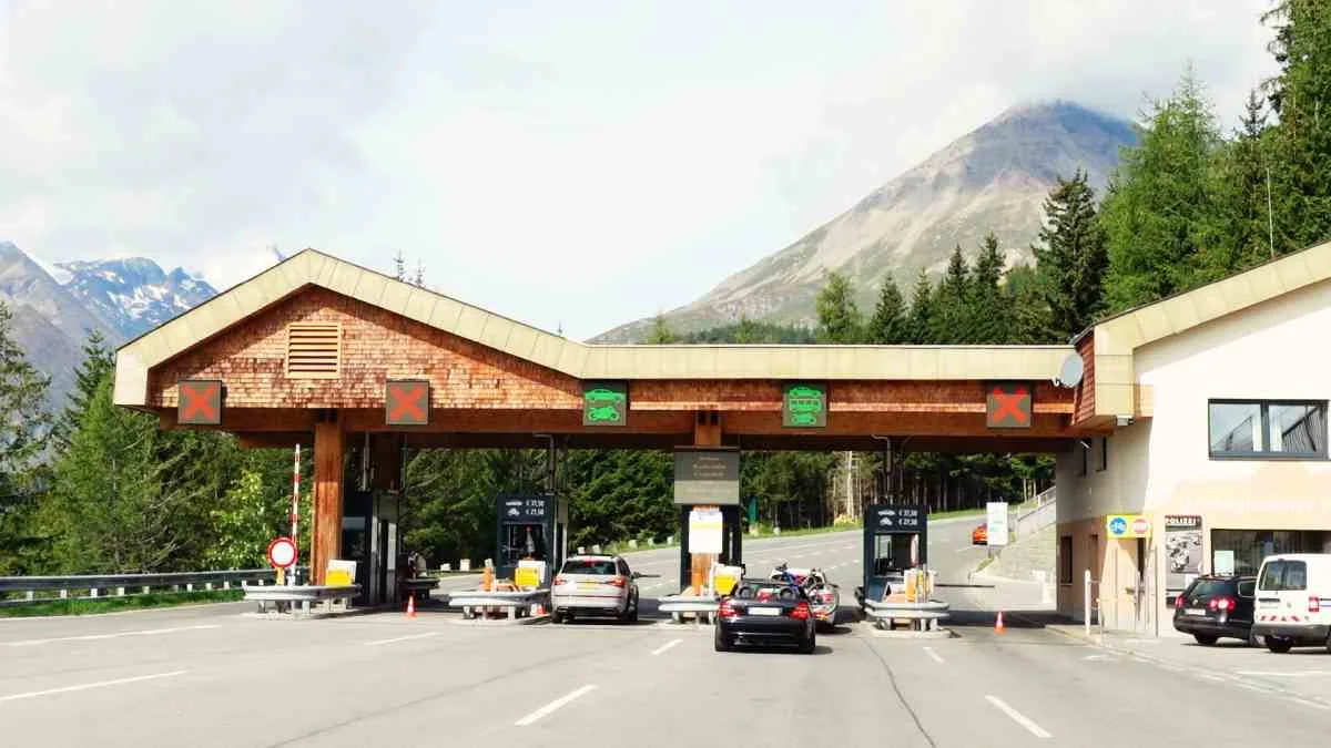
- Motorcycle toll: day ticket €36.50, €30 after 6 pm, electric motorcycle €32.50. Second day +€17.50, 3-week ticket €73, season ticket €130. From 15 October the autumn rate of €30 applies.
- Combined tickets: Grossglockner plus Felbertauern road within 30 days €46. The tour ticket with Grossglockner, Gerlos and Nockalm roads costs €55.50. Advance tickets are sold by ÖAMTC, ARBÖ and ADAC, no membership needed.
- Opening: roughly from early May to early November. In June, July and August from 5:30 am to 9 pm (last entry 8:15 pm), shorter at other times. Outside opening hours there is a night driving ban.
- Status late October 2026: because of snow the road is only open with snow chains and closed to motorcycles. From 27 October until the winter closure it is open from 8 am to 5 pm.
The route in numbers
| Section | Distance | Highlight |
|---|---|---|
| Bruck to Ferleiten toll station | approx. 16 km / 10 mi | approach through the Fusch valley |
| Ferleiten to Fuscher Törl | 12.9 km / 8 mi | north ramp, about 1,280 m of climbing |
| Edelweiß road (one way) | 1.6 km / 1 mi | 6 hairpins, up to 14 %, cobblestones |
| Fuscher Törl to Hochtor | approx. 6 km / 4 mi | Fuscher Lacke, Tauern Window, tunnel |
| Glacier road Guttal to Kaiser-Franz-Josefs-Höhe (one way) | approx. 10 km / 6 mi | Schöneck, view of Großglockner and Pasterze |
| Hochtor to Heiligenblut toll station | approx. 11 km / 7 mi | hairpins down to Guttal, Kasereck |
My ride from Ferleiten to the Kaiser-Franz-Josefs-Höhe and back, with both side roads, was 73 km (45 mi) with about 3,100 m of climbing. Plan half a day to a full day with all the stops.
All stops from north to south
Start: Ferleiten toll station. From Bruck you ride through the Fusch valley to the Ferleiten toll station. You pay the toll here, and the hairpins of the north ramp start shortly after.
1. Piffkar (1,620 m)
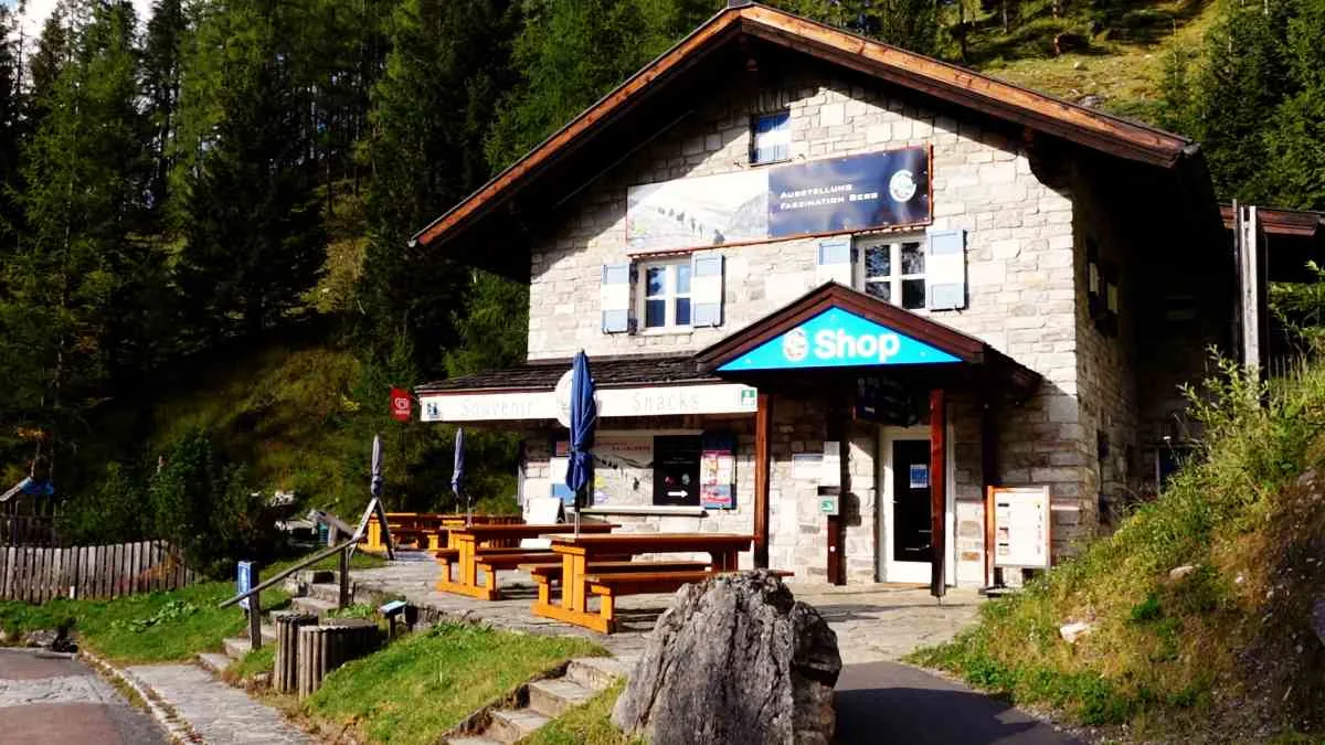
The first lay-by after the Ferleiten toll station, in the larch forest. The road maintenance house dates from the time of construction and was the base for the snow clearers. If you want to stretch your legs, a nature trail of about 30 minutes starts behind it.
2. Hochmais (1,850 m)
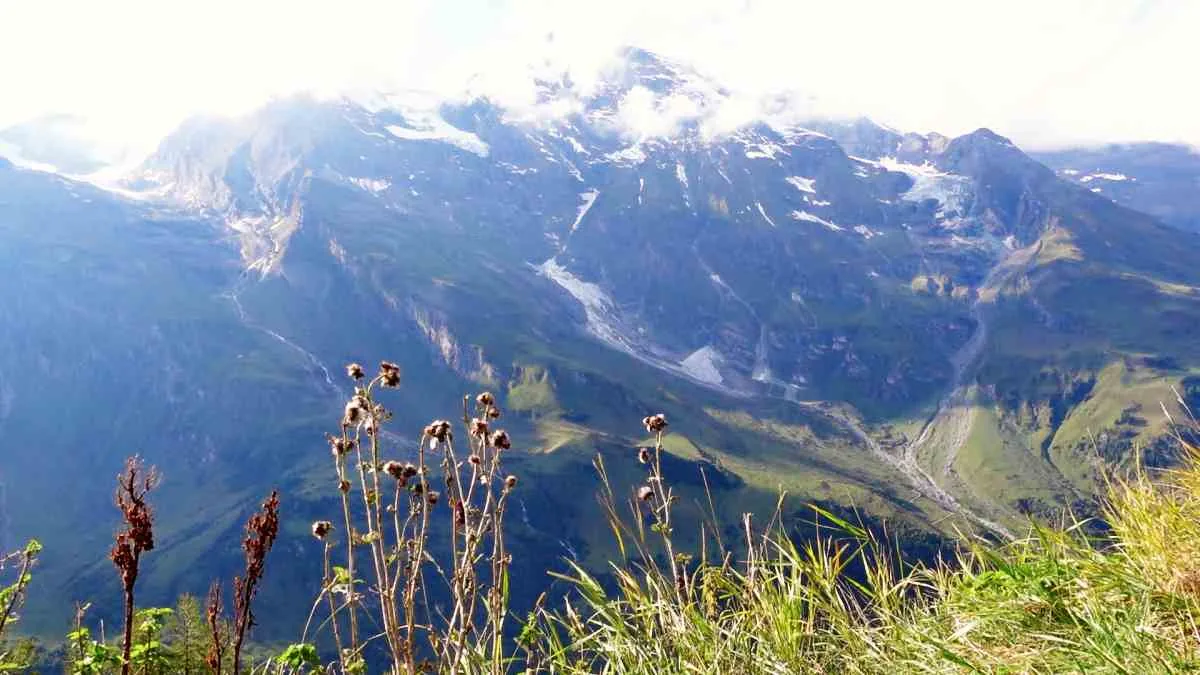
Many ride straight past, yet the view is one of the best on the north ramp: Großes Wiesbachhorn (3,564 m / 11,693 ft), Hohe Dock and six glaciers above the Ferleiten valley. The car park sits right in a hairpin, easy to stop with a bike.
3. Haus Alpine Naturschau (2,260 m)
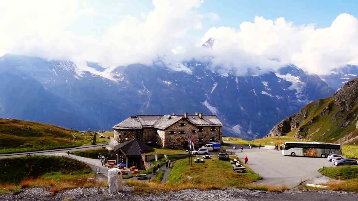
A small museum on high-mountain nature, with rock crystals and a marmot cinema. Outside, the “Avenue of Stones” shows the rocks of the national park. A good stop before the climb to the Edelweißspitze.
4. Edelweißspitze (2,571 m)
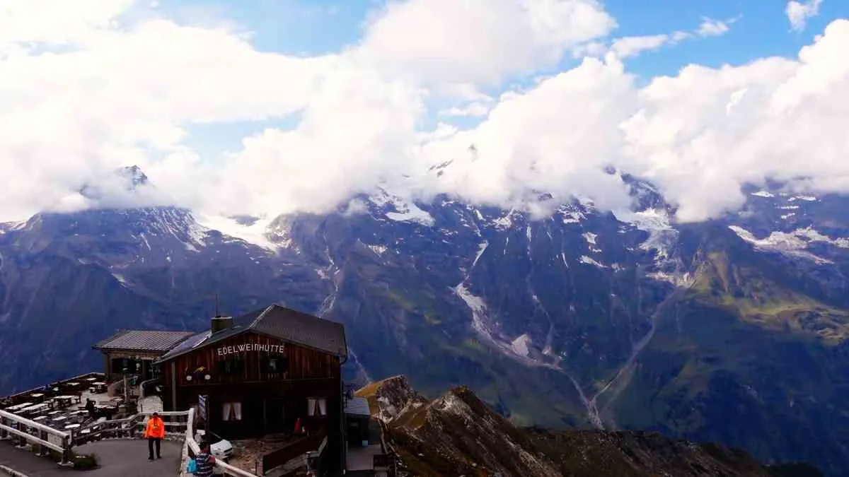
At 2,571 m (8,435 ft) the highest point you can reach by motorcycle here. The Edelweiß road is only 1.6 km long, with 6 tight hairpins, gradients of up to 14 % and the original 1930s cobblestones. The cobbles are slippery when wet, so ride smoothly. From the viewing tower you see more than 30 peaks over 3,000 m, and on sunny days the top is full of bikes.
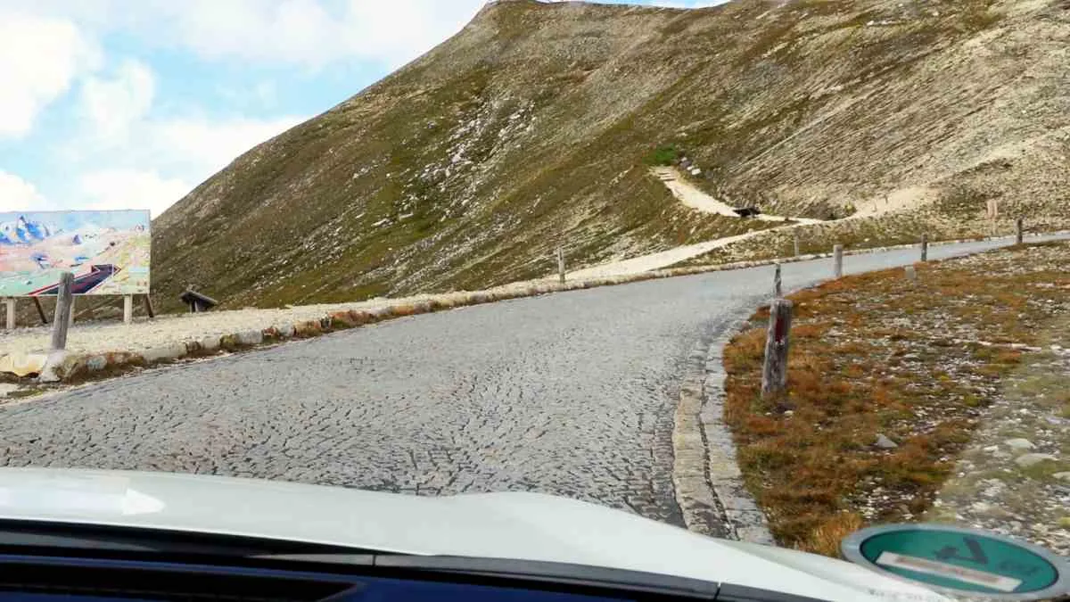
5. Fuscher Törl (2,428 m)
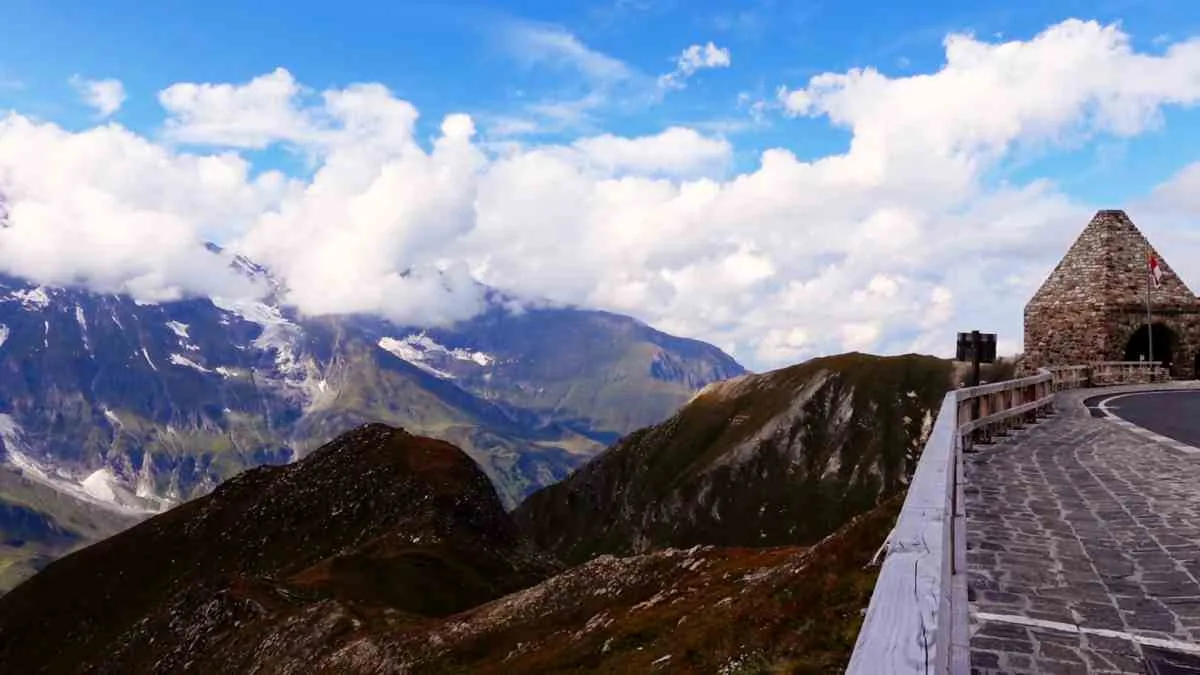
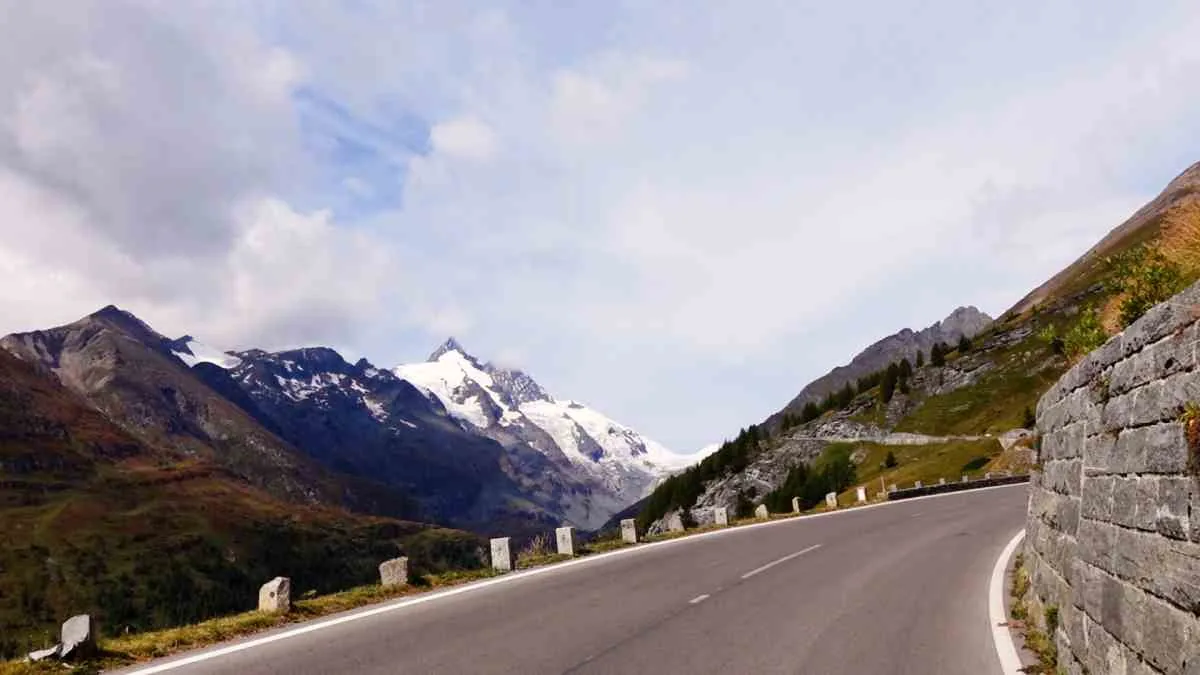
From the Salzburg side, your first view of the Großglockner. The stone memorial by Clemens Holzmeister remembers the workers who died building the road. The Edelweiß road also branches off here.
6. Birds of prey (2,320 m)
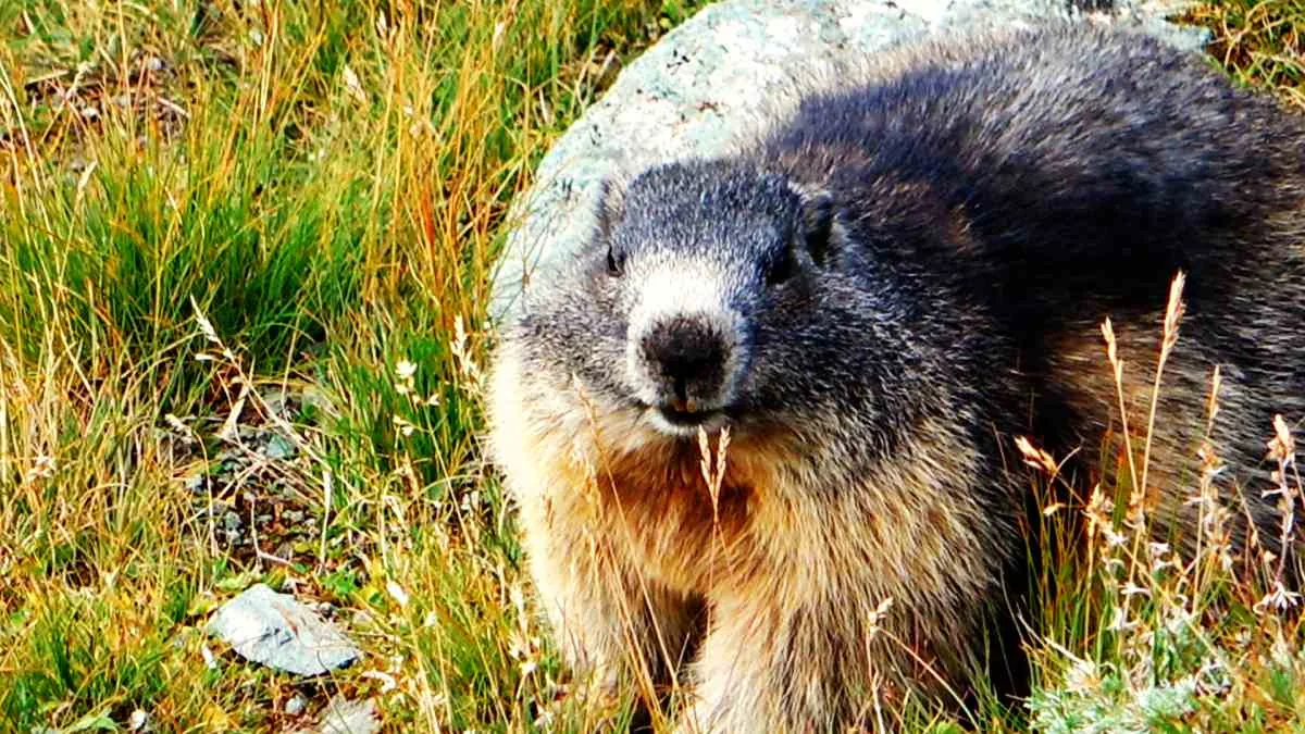
Information boards on golden eagles, bearded vultures and griffon vultures. With luck they circle above you, and on this stretch you almost always see marmots by the road.
7. Fuscher Lacke (2,262 m)
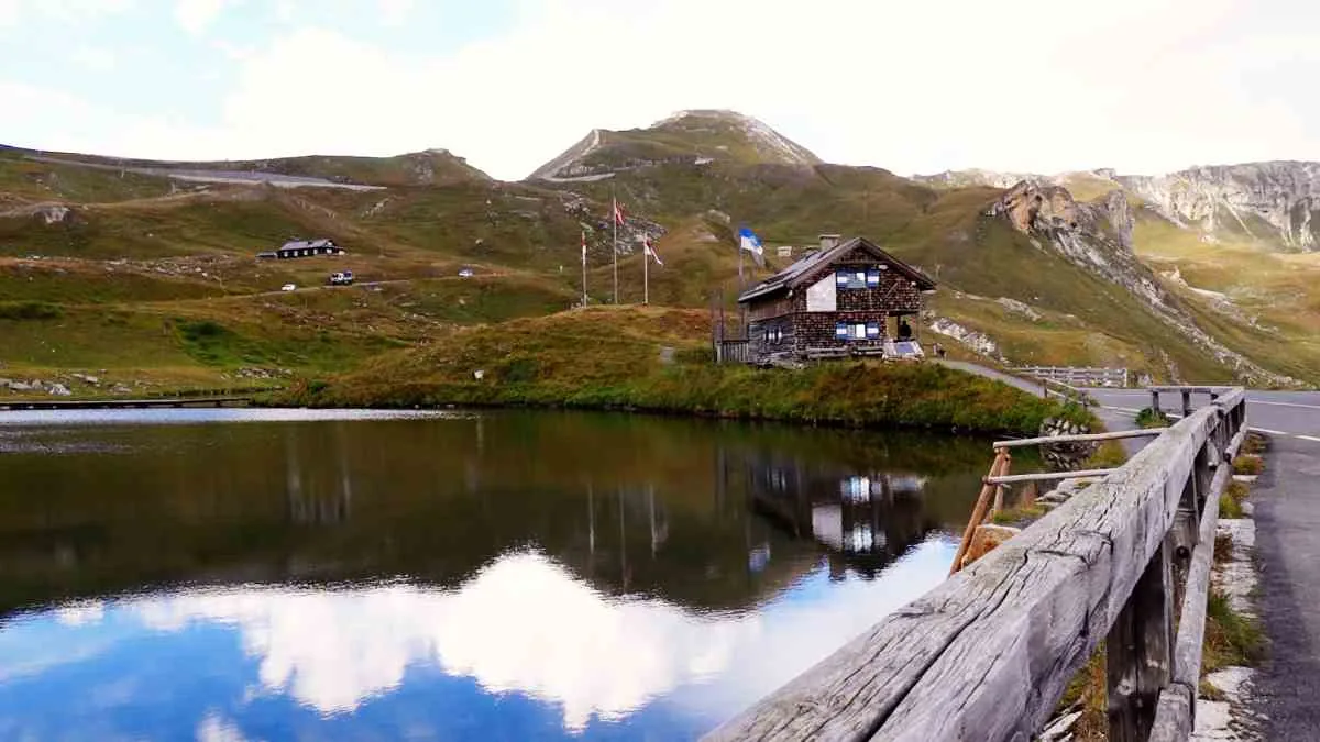
A small mountain lake right by the road, with a 10-minute loop walk. In the old maintenance house an exhibition shows how the road was built. Opposite is the Mankei inn, a popular meeting point for drivers and riders of sporty vehicles.
8. Tauern Window (2,290 m)
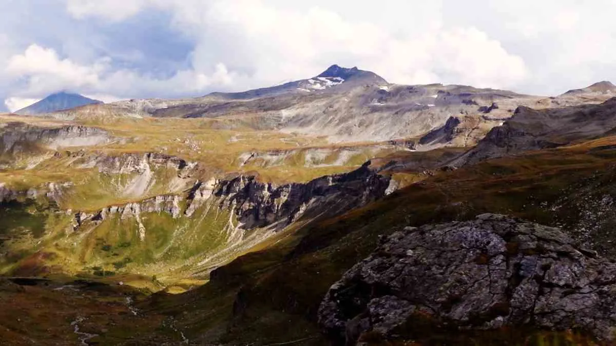
Large rock blocks by the roadside explain the geology: the Tauern Window exposes rock that normally lies deep inside the Alps. Here the road follows an old mule track already used by Celts and Romans.
9. Hochtor (2,504 m)
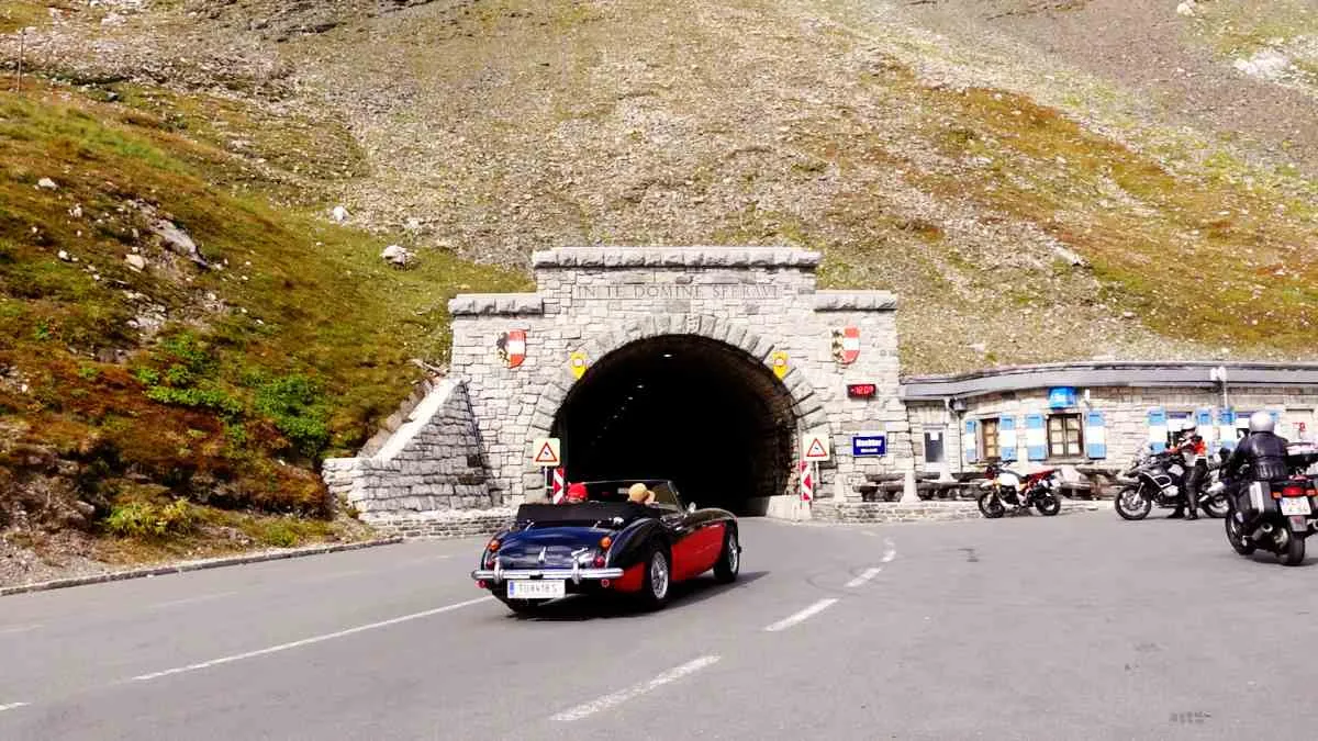
The pass summit at 2,504 m (8,215 ft). The border between Salzburg and Carinthia lies inside the tunnel. In front of the tunnel is the classic photo spot with your bike; on the south side the road sweeps down in wide hairpins towards Guttal.
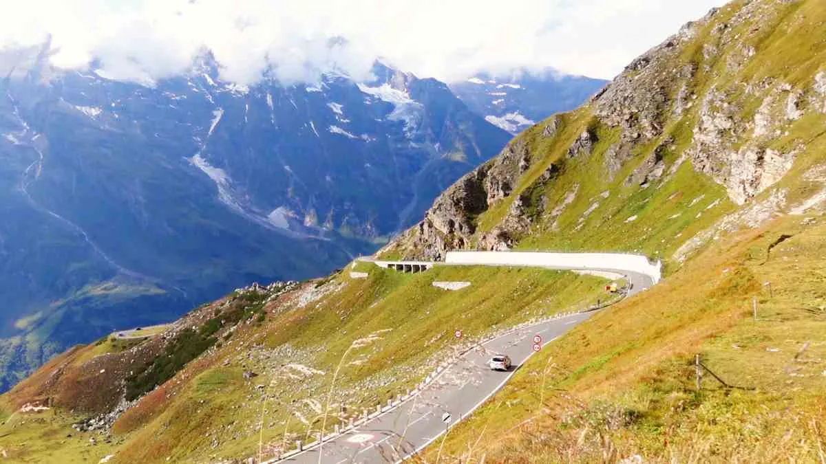
10. Schöneck (1,953 m)
A restaurant on the glacier road with a sunny terrace, just before the road climbs to the Kaiser-Franz-Josefs-Höhe. A good place for Carinthian Kasnudeln.
11. Kaiser-Franz-Josefs-Höhe (2,369 m)
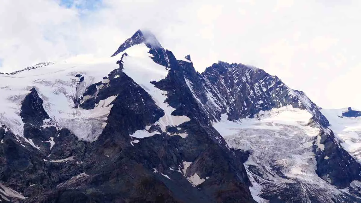
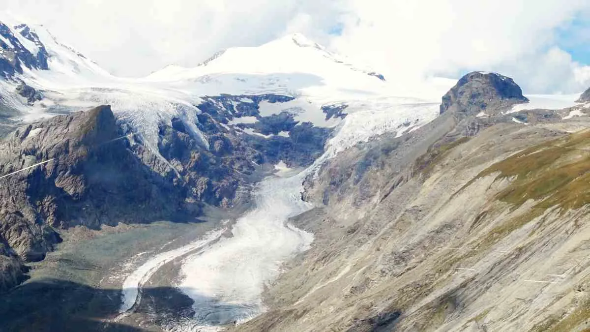
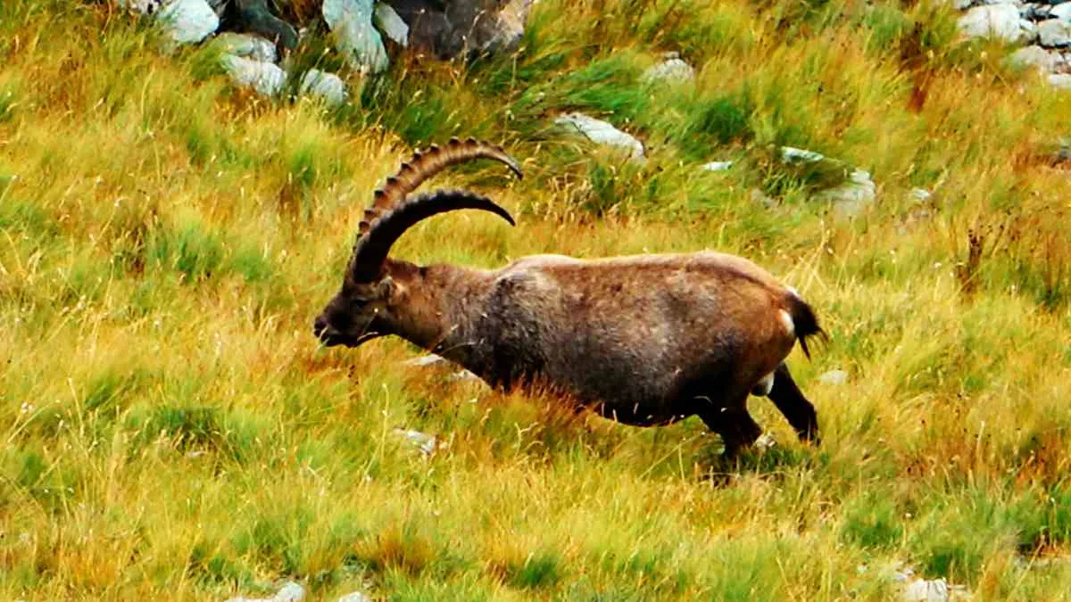
The end of the glacier road and for many the highlight: the Großglockner (3,798 m / 12,461 ft) and the Pasterze, Austria’s largest glacier, right in front of you. Parking in the garage is free. Ibex and marmots often come very close. From here you ride back the same way to Guttal.
12. Kasereck (1,911 m)
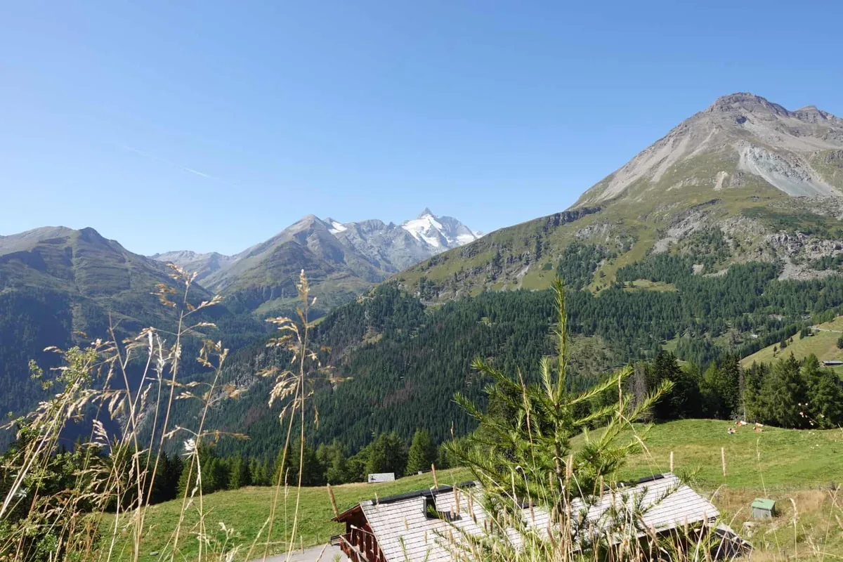
The last stop before Heiligenblut, with a view into the upper Möll valley and a show dairy. Shortly afterwards comes the Heiligenblut toll station, and down in the village the pilgrimage church in front of the Großglockner.
End: Heiligenblut toll station. On the Carinthian side you leave the toll road. From Heiligenblut you continue through the Möll valley, or turn around and ride the whole road again in the other direction.
Riding tips
- Start early: the road opens at 5:30 am, the hairpins are empty in the morning and the peaks are more often clear.
- The Edelweiß road has cobblestones and gradients of up to 14 %. In the rain ride slowly and avoid hard braking.
- Watch out for marmots on the road, especially between Fuscher Törl and Hochtor.
- Evenings are quiet and the light is beautiful. Keep the last entry time and the night ban in mind.
- Even in midsummer it can be only a few degrees at the top. Pack a warm layer and rain gear.
- Parking in the garage at the Kaiser-Franz-Josefs-Höhe is free.
My documentary on YouTube
In my documentary I ride the road from Ferleiten to the Kaiser-Franz-Josefs-Höhe and show every stop.
 Grossglockner High Alpine Road: the documentary
Plan your own ride
Take the route into the route planner and change it, for example as a loop over the Felbertauern or with the approach from your home. With “Curvy” or “Extra curvy” RideAnimator finds the best roads to get there, and the GPX goes straight to your navigation device.
Frequently asked questions
How much is the Grossglockner toll for motorcycles?
In 2026 the motorcycle day ticket costs €36.50, or €30 after 6 pm. From 15 October the autumn rate of €30 applies.
How long is the Grossglockner High Alpine Road?
The road is 48 km (30 mi) long from Bruck to Heiligenblut, with 36 hairpins, plus the side roads to the Edelweißspitze and the Kaiser-Franz-Josefs-Höhe.
When is the Grossglockner road open?
Roughly from early May to early November, depending on snow. In summer from 5:30 am to 9 pm; there is a night driving ban.
What is the highest point?
The Edelweißspitze at 2,571 m (8,435 ft). The pass summit on the main road is the Hochtor at 2,504 m (8,215 ft).
Sources
Photos: own ride. Map data: © OpenStreetMap contributors. Information as of October 2026.